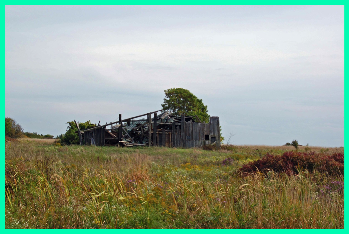
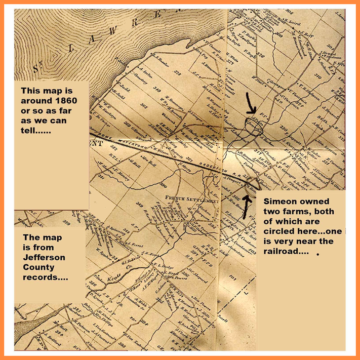
As best I can figure this old barn may be on land once owned by Simeon (the second such farm he owned). It is located diagonally from the wooden church in Rosiere, and very near the railroad line See map and pictures below.
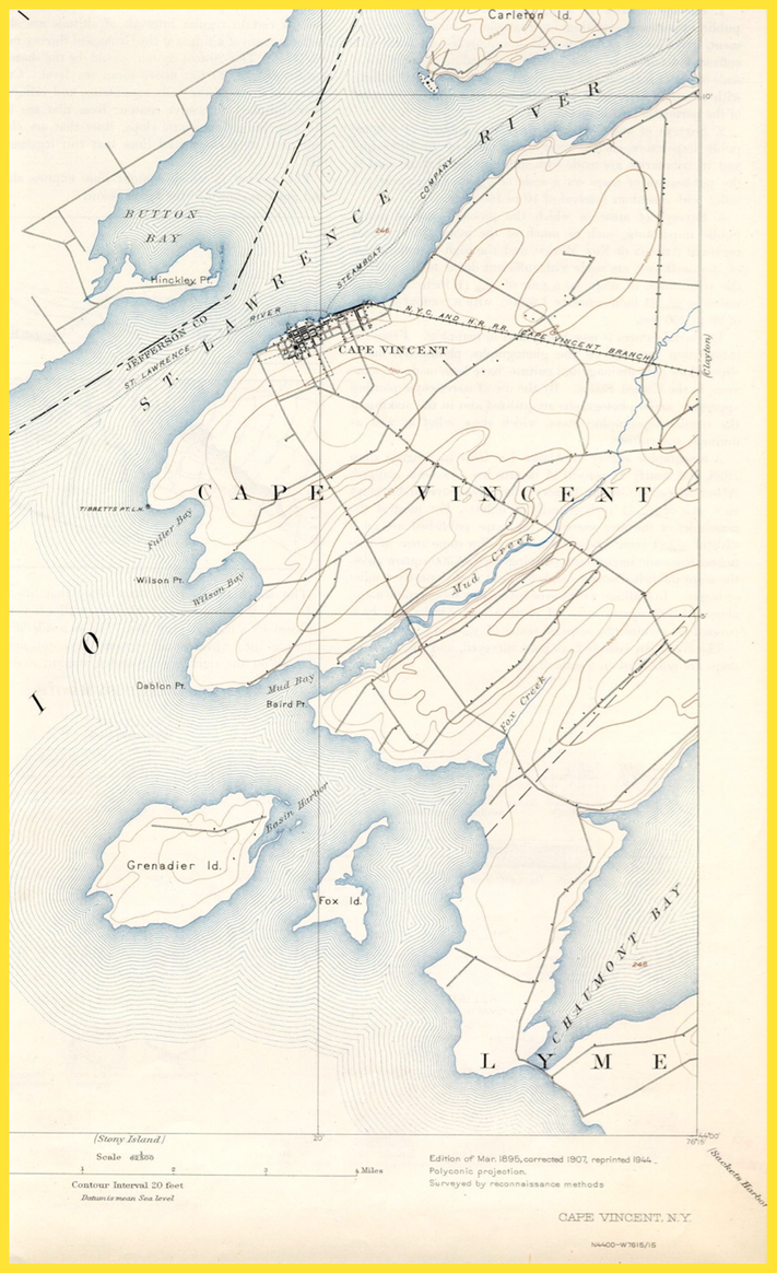
And below is another map, drawn in 1895, corrected in 1907, and re-printed in 1944. It is a little difficult to compare, but it does seem that road beginning adjacent to the “E” in Cape Vincent below is similar to the road leading into the French Settlement from the Southwest in the 1860 map.
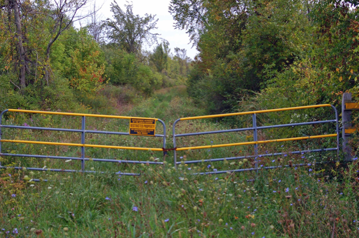
BELOW IS A PICTURE TAKEN WHERE THE RAILROAD WAS LOCATED, AND IT IS LOOKING EAST TOWARDS WATERTOWN.